Diamond In The Rough: Steven's Glen
Where We Went : Steven’s Glen - Richmond / West Stockbridge, MA
When We Went : Mid-June
Difficulty (Boots 1 - 10) : 2 Boots
Trail Length : 1.4 miles round trip / 45 minutes
How Long it Took Us : 2 hours
Overview : One of the more overlooked waterfalls in the Berkshires, Steven's Glen is 129 acres of gorgeous forest featuring Lenox Mountain Brook winding its way through Lenox Mountain. A metal-staired viewing platform showcases the narrow, 40-foot gorge carved into the side of the mountain. The glen is named for Romanzo Stevens, a 19th century, local farmer, turned entrepreneur. In 1884, Romanzo, recognizing the beauty and character of his land, built bridges and walkways, constructed a covered dance pavilion, and charged 25 cents a head for admission. It has been reported that in 1919 a party of 900 people gathered here for a nighttime celebration! In winter of that year, the pavilion roof collapsed under the weight of heavy snow. The area was later donated by the Pryor family in 1995, and is now maintained by Berkshire Natural Resources Council.
What We Dug : This diamond in the rough, (cue my *Jafar voice*) was not our intended adventure. We had originally planned a trip to Pleasant Valley Wildlife Sanctuary in Lenox, but the lot was full so we kept on driving. Look for a small pull off on the shoulder of Lenox Branch Road.
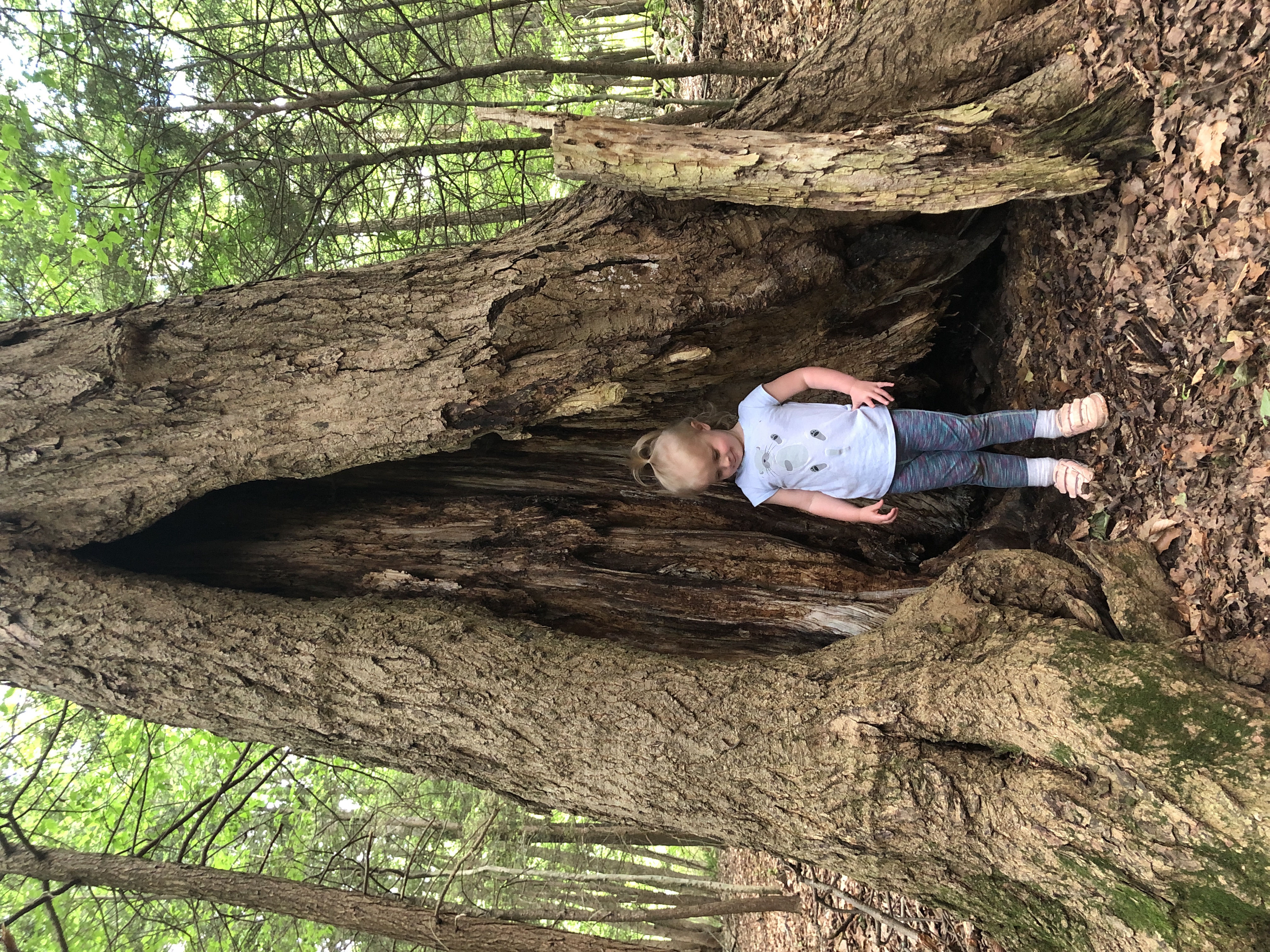
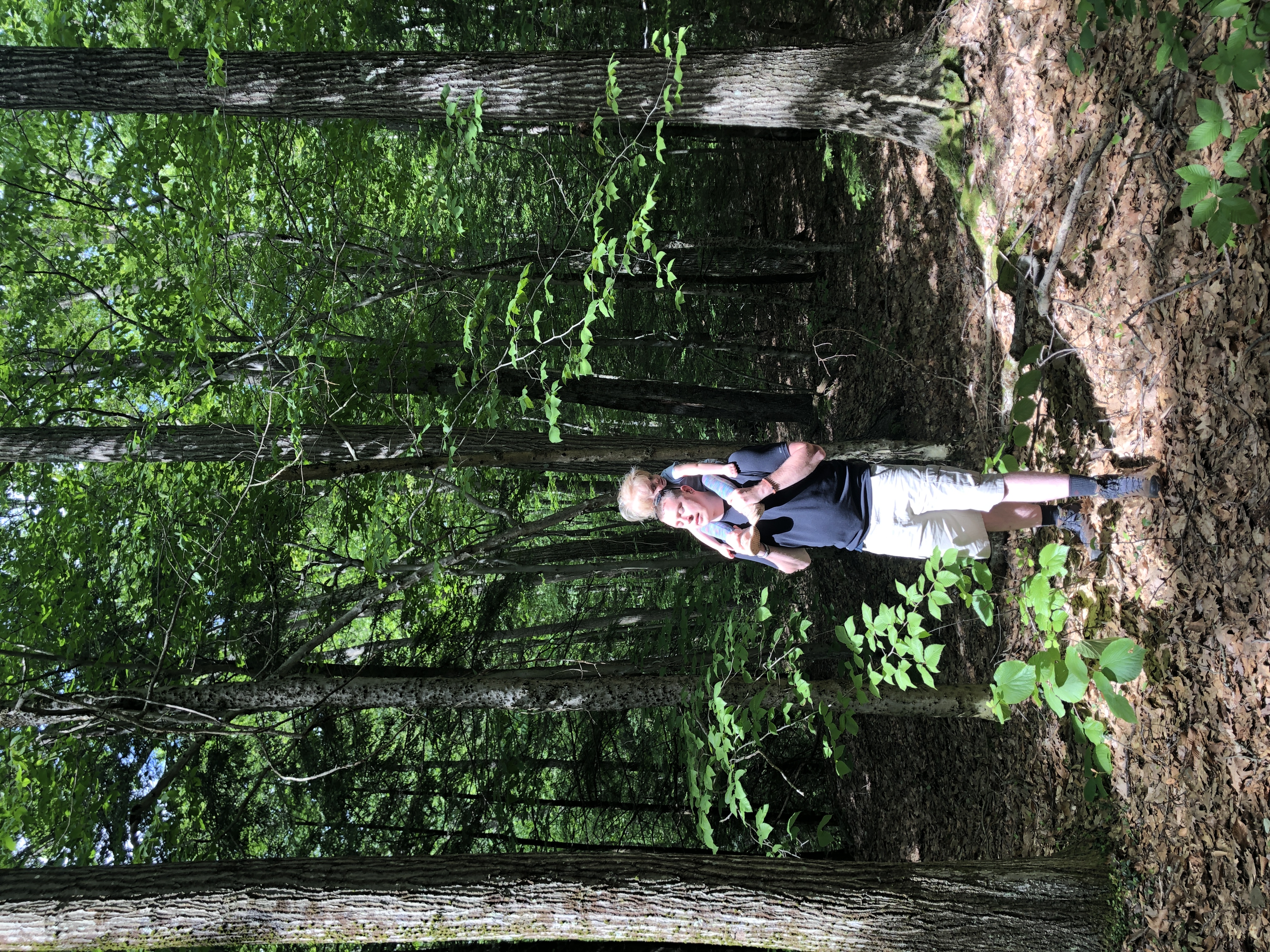
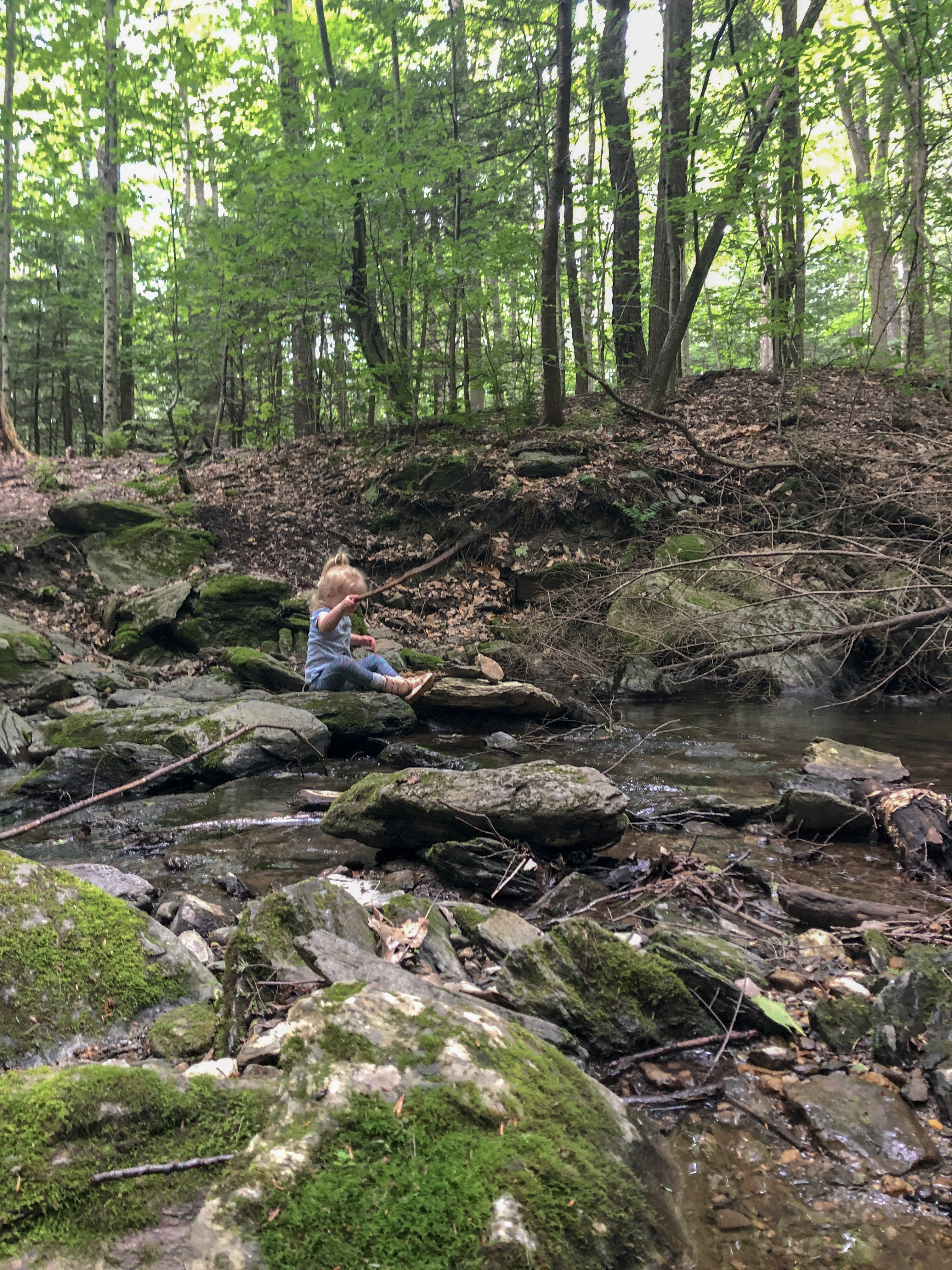
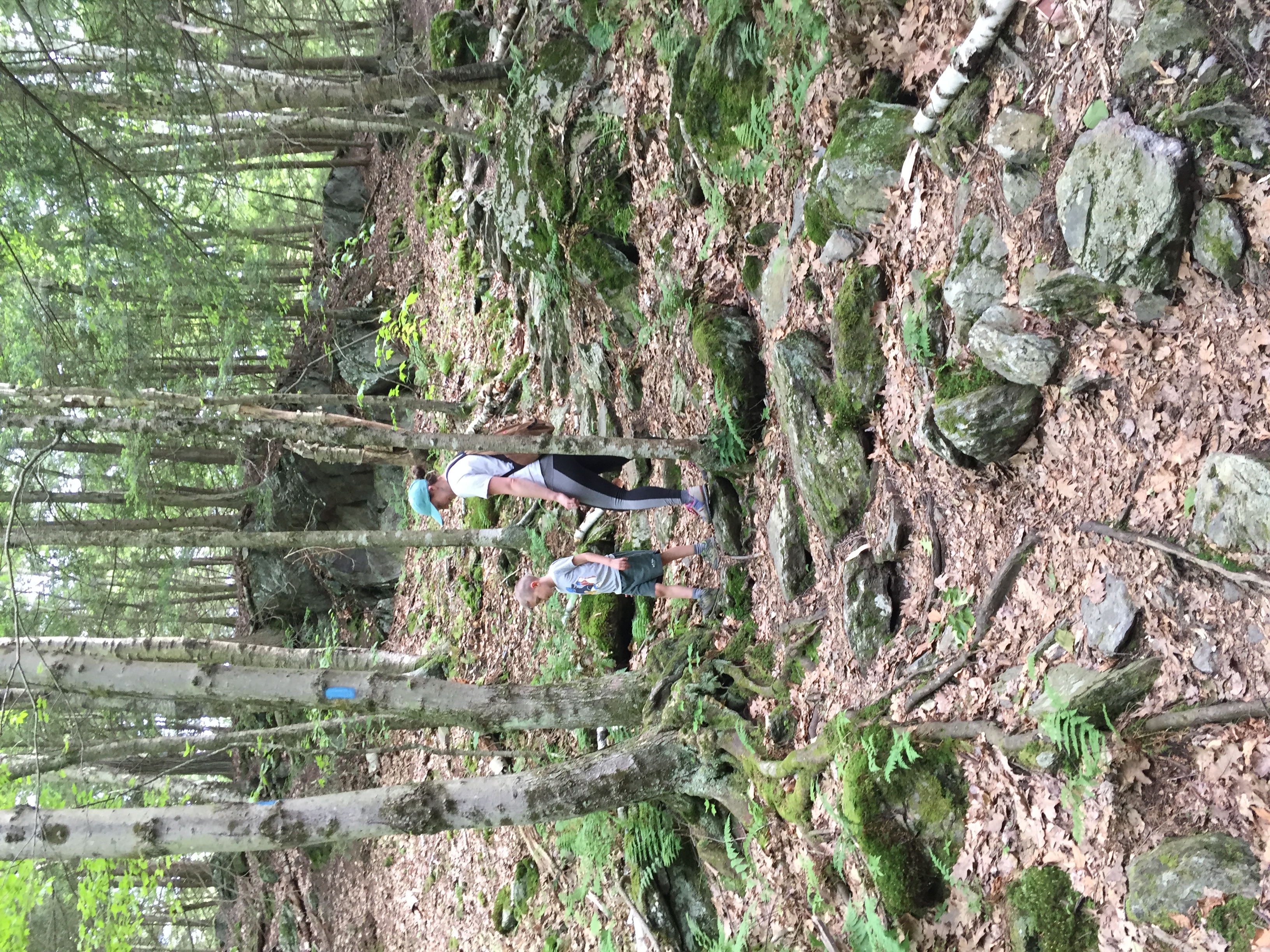
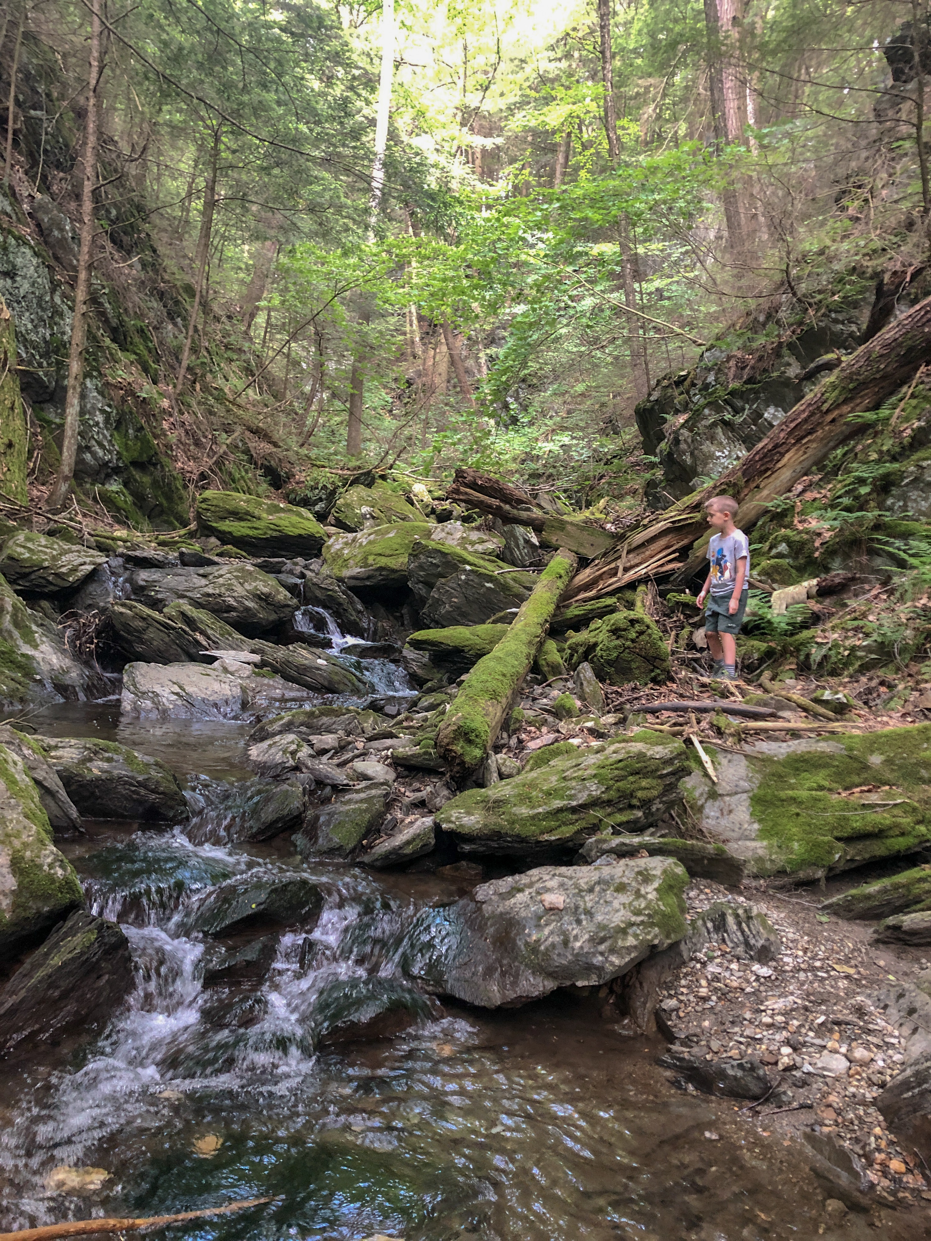
Down a small set of stairs, steps from the road, we found ourselves in the woods at the trailhead. Heading left at the split, we passed through some massive pines, huge moss-covered rocks, a number of water features, and small footbridges. The kids were thrilled to be out of the car and took every opportunity to get their hands in the water. We spent the bulk of our time playing in the pools and streams, pretending to fish and stacking stones. Scattered along the trail are benches perfect for a snack break.
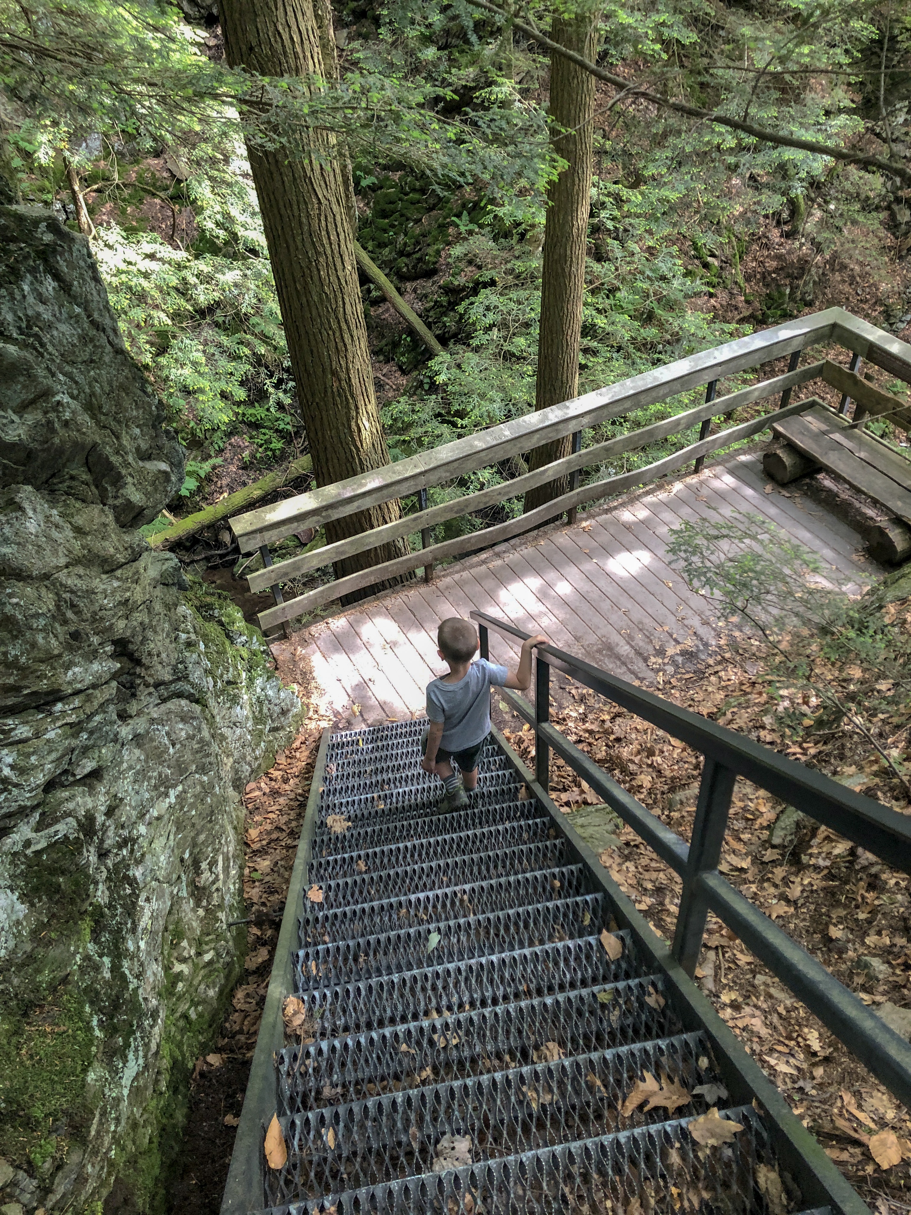
A fairy-like spur trail leads to the gorge viewing platform. For those who may not know, a "spur" is a trail that branches off of a main trail and typically leads to a point of interest (i.e. waterfall) and (usually) a dead end.
The loop's spur is marked with a sign that points to the Glen, and magical stone steps lead you uphill. All the lush moss made it easy to pretend each log and crevice was a winged creature's home. The kids left acorn cups full of water for the fairies to drink!
Take the metal stairs down to the overlook platform to see the tall, narrow falls in the crevice of the rocks. There's a bench that's great for quiet gazing (or loud whining) before you embark on the return trip. You'll have to double back on the spur to return to the loop.
This is an impressive trail with great rewards for the entire family. The short length is perfect for small legs and equal attention spans. Truly a hidden gem, this is not a heavily trafficked spot. It is well marked and appropriate for almost anyone.
What We Could Do Without : Bugs can be obnoxious, so take precautions!
Keep Your Eyes Peeled For: Dame's Rocket, White Pines, Hemlock Groves, Rock Formations, Chipmunks, Red Squirrel.
Must Know Before You Go’s: The "parking lot" is the widened shoulder of the road, by the Steven's Glen sign. It can sneak up on you pretty quick! The trailhead is down a few wooden stairs.
At the trails split, we opted to go left to start the loop and the trail starts descending immediately. (If you go right, you will spend the end of the hike climbing uphill for a bit.) Overflow parking available down the road.
NOTE: The Stevens Glen trail is temporarily an out-and-back trail. The eastern portion of the loop is closed due to severe erosion at stream crossings. Reconstruction to this portion of the trail is ongoing. Please stay on the western side of the trail and adhere to the closure signs. You can still access the observation deck. Thank you!
Free.No facilities.Maps available at the trailhead.
Directions : From Pittsfield, take Route 20 West and a left onto Lenox Road. Turn right onto Lenox Branch Road. After 0.6 miles, there is a small pull off on the right at the sign.
GPS: 42.3505, -73.3484 (Trailhead parking)
Website: bnrc.org
Resources: Berkshire Eagle Archives
*We made it back to Pleasant Valley later this summer and it was a great hike! Review coming soon.
Scroll through for more photos of our Steven's Glen Adventure!